
Trace a Newark Street Record
A dependable Newark street search follows a parcel trail before it reaches a person’s name. The Licking County Tax Parcel Viewer accepts the beginning of a standardized address, an owner in LastName, FirstName form, or an Auditor PIN. Its result ties the street entry to parcel identifiers and a recorded-document reference. That sequence is more reliable than treating an address match as proof of present occupancy.
- Enter the beginning of the Newark address, using abbreviated directions and road types without periods, then select the matching parcel.
- Write down the exact street field, Owner 1 or Owner 2 when shown, the Auditor PIN, the Engineer PIN, acreage, lot or subdivision, and the legal-description details.
- Open or preserve the parcel’s Official Record reference. Record the instrument or document number, along with the recorded date, document type, grantor, grantee, legal description, and page count from the instrument itself.
- Use the Recorder’s name, date, legal-description, instrument, or Book/Page routes to test the next earlier transfer. Match the legal description and parcel context at every link before continuing backward.
- Pair the resulting address and period with a dated Newark directory or telephone book. A published listing adds a time-specific household or subscriber lead, not a complete list of everyone who lived there.
When the question changes from one street to one named person, use the Newark resident lookup for record-by-record verification. The address chain remains useful, but it should not be stretched into a claim that it finds every resident along a street.
Newark Street Directory Search Fields
The Tax Parcel Viewer combines several lookup routes in one search control. Address searching is a beginning-of-address search rather than a full-street browse. Owner searching needs the comma-and-space format, and the Auditor PIN can be entered with or without punctuation. The Buffer, Measure, report, map, and CSV controls support property research after a parcel is selected.
| Viewer field or control | Use in Newark | Format or limit |
|---|---|---|
| Search | Starts an address, owner, or PIN lookup | Choose a suggested parcel for an address result. |
| Address | Finds a street entry | Enter the beginning, with abbreviated directions and road types. |
| Owner name | Finds property-owner records | LastName, FirstName, including a space after the comma. |
| Auditor PIN | Finds a stable parcel identifier | Use no spaces or the 000-000000-00.000 pattern. |
| Buffer distance | Builds a nearby-parcel set | Select a parcel, then enter feet. |
| Property Survey | Lists selected affected parcels | The visible viewer state limits the set to 30 parcels. |
The Licking County Auditor property-services page is the source captured below.
Use the viewer’s parcel result to retain the identifiers that carry a Newark street entry into the Recorder records.
Read Newark Street Parcel Records
A selected parcel can display Owner 1 or Owner 2, Auditor and Engineer PINs, an Official Record, acreage, lot details, and subdivision information. The related Newark City LandView parcel layer also documents distinct site-address, owner-mailing, legal-description, transfer, value, exemption, and parcel fields. Not every schema field is necessarily visible in every viewer popup.
- Parcel
- A mapped tax-property unit, identified here by county PINs and related land details.
- Situs address
- The property’s physical street location. Keep it separate from an owner mailing field when both appear.
- Plat
- A recorded map that can identify a lot, block, subdivision, or plat book and page.
- Criss-cross directory
- A reverse directory organized from address to a published name, rather than from name to address.
The City LandView feature-service record is the source captured below.
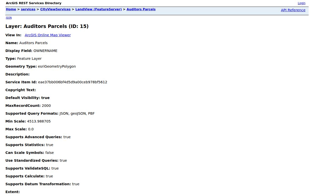
Keeping the situs, mailing, and legal-description fields separate avoids turning a parcel record into an unsupported residence claim.
Newark Street Directory Record Coverage
Each address-keyed source answers a narrower question. The parcel viewer connects an address to land identifiers and owner fields. The Recorder establishes recorded-document context. Library volumes preserve dated published listings. A municipal or county file can be useful for a defined project and period, but research did not verify a public portal for completed permit results.
| Address record set | Newark or Licking keeper | Street contribution | Access and boundary |
|---|---|---|---|
| Tax Parcel Viewer | County Engineer/GIS | Owner fields, PINs, situs street, Official Record, lots, and acreage | Free map, report, and CSV tools; property context only. |
| City LandView parcels | Newark GIS service | Site, mailing, legal, value, and transfer schema fields | Machine-readable map service, not a promise of an end-user form. |
| Recorded instrument | Licking County Recorder | Parties, document type and date, instrument, and legal description | Read the document, not only an index entry. |
| Directories and telephone books | Licking County Library | Published name, address, or subscriber snapshots for a stated year | Dated evidence, not title evidence or a complete roll. |
| Project-related file | City or county custodian | Address, parcel, project, and date-specific material when retained | Use a targeted request when no public results portal is documented. |
Use the exact PIN, lot or subdivision, and legal description to connect these Newark street records. A street name alone can repeat, change form, or point to several different parcels.
Follow Newark Street Deed Records
The parcel’s Official Record starts the document trail, not the end of it. The Recorder’s PAX help guide documents Name Search with name and/or date input and the Like, Contains, and Is choices. Advanced/Legal supports document category, document type, and legal-description filters. Instrument mode accepts an instrument number or Book/Page and includes an Include Cross References option.
Confirm each step against the legal description, lot or subdivision, book/page or instrument, and parcel context. The current PaxWorld landing requires an account, while the Recorder’s General Index is free in person at 20 S. Second St. and reaches to the early 1800s. Online recorded documents are stated as available since September 22, 1997, but that date does not establish a starting year for every online name-index mode. If the digital route ends, the Recorder index and Records & Archives deed volumes are the documented next channels.
The Licking County Recorder record-search page is the source captured below.
Document numbers, recording time, party names, and the legal description are the details that let a Newark street search move backward without relying on surname alone.
Newark Street Directory Dated Layers
For a household snapshot, use the Licking County Library Local History collection after the parcel and deed work. Its physical Newark city-directory holdings run from 1858 through 2020 with listed gaps, and its Newark-Licking County telephone directories run from 1959 through 2020. These are time-stamped publications, not live records.
Polk’s Licking County Cross Reference Directory is verified for 1996 and 1997, making those years especially useful for an address-to-name check. Compare the exact street number, road form, initials, and printed notation with adjacent editions and the deed chain. The historical volumes are described in more depth in the Newark Directory Book; a directory listing should never be read as ownership proof or a complete count of a street’s households.
Map Newark Street Segments
The Viewer’s Buffer tool gives a documented way to examine a short Newark street segment through nearby parcels. Select the starting parcel, choose Buffer, enter a distance in feet, and submit it. The resulting affected-parcel or Property Survey list can be reviewed through the report, map, or CSV functions. Its visible property-survey state caps the result set at 30 parcels.
That method shows surrounding property records, such as parcel continuity, lots, subdivisions, and recorded-document references. It is not a roster of people. Broader map queries need narrowing, and the county describes maps and aerials as reference material rather than a legal survey or legal description.
Note: Record the buffer distance and date so a later parcel comparison has a clear, reproducible scope.
Newark Street Address Geography
Older Newark streets may need a map check before a directory result is compared to a current parcel. The Library’s local-history resources list an 1817 Newark plat map, a circa-1910 city map, a 1957 annexation map, a 1952 street map, a 1950 zoning map, and a Newark-Heath street index. These materials help place an address in the right city, ward, or map era without inventing a street-renumbering history that the local research did not verify.
A mailing city, postal label, jurisdiction, township, tax district, and parcel situs can also differ. For new or corrected numbering, the responsible authority depends on the property’s municipality and jurisdiction rather than the city name in a mailing address.
The Licking County Engineer address and permit page is the source captured below.
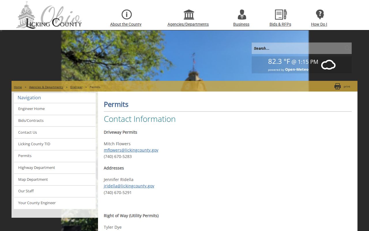
The Engineer page identifies a House Number Application, a useful official route when address assignment needs confirmation.
Request Newark Street Files
For a dated project question, narrow a request to the exact address, Auditor PIN, project type, and date range. City Engineering & Zoning materials can include a project address, parcel number, zoning, lot or subdivision, street-side or intersection details, and owner-contact material. Licking County Building Code has a Permit Inquiry channel and application materials, but no public completed-permit result database was verified.
The Ohio Public Records Act is a fallback for an identifiable, nonexempt record that is not posted online. Ask the actual custodian for an existing file or record series, not a broad search of every name on a street. Inspection should be prompt and copies provided within a reasonable period, but the research found no fixed statewide response-day promise.
Newark Street Voter Limits
Ohio My Voter Information is an individual, named lookup. It requires first name, last name, and county, with Licking County selected for a Newark search. It is designed to check registration and precinct or polling-location information. It is not a public tool for browsing a street one address at a time.
Ohio’s DATA Act files provide dated county registration snapshots under a distinct official workflow. A careful request or file analysis must preserve the exclusions for confidential participants and redacted fields. A Safe at Home participant’s name, residence address, and precinct are not included in the public statewide database or official public registration list. A nonmatch should not be treated as evidence that a person is absent from Newark.
Before 1875 Newark Streets
The 1875 courthouse fire affected early Licking County records differently. An absent early document is not proof that a street, parcel, or family connection did not exist. The Recorder’s in-office General Index, Records & Archives deed holdings from 1803 to 1918, and the Library’s dated directories and maps should be used as complementary sources for the period.
For a pre-fire address trail, retain the legal description and compare surviving government volumes with the closest directory year and map. Local Sanborn microfilm covers 1884, 1889, 1893, 1899, 1905, 1912, and 1920; it places a building in context but does not name occupants. Records & Archives notes that coverage varies by collection, so a request should identify a record series instead of asking for a general name search.
Respect Newark Street Privacy
Parcel ownership, a transfer party, a voter record, and a dated directory entry are different facts. Private occupants, utility accounts, motor-vehicle information, protected court material, and confidential voter records do not become public street-directory results. A homestead or owner-occupied field is property-status context, not a list of household members.
Ohio’s records rules also protect Safe at Home participants and certain redacted personal information. Use the result only for the precise fact it supports, preserve the source and date, and ask the custodian to correct a factual error. Do not compare records to identify protected people or bypass a confidentiality measure.
Lawful use. Newark street records support personal, lawful research and careful record verification. Using information to stalk, harass, threaten, or harm another person is prohibited; Ohio law includes limits on menacing by stalking and telecommunications harassment.