
Newark Neighbors Block Record Coverage
A Newark neighbors search has a narrow official starting point: the parcels around a known address. The map can show parcel lines and ownership context. A recorded document can confirm parties and a legal description. Library material can place the same block in a historical year. Civic minutes can provide public project or applicant context. None of these sources is a list of every person who lives nearby, so treat the parcel and its date as the anchor.
| Source | What It Shows About a Block | Access |
|---|---|---|
| Licking County Tax Parcel Viewer | Nearby parcel boundaries, Owner 1/2, PINs, Official Record, acreage, lot, and subdivision context | Free public map with selection, buffer, report, map, and CSV tools. |
| Recorder document trail | Recorded parties, instrument details, and legal-property description for an identified parcel | Online PaxWorld account route or the Recorder’s in-office General Index. |
| Newark City Council records | Public agenda, minute, ordinance, applicant, and project-address context | Current material online; archived minutes through the Clerk of Council. |
| Licking County Library Local History | Historic maps, directories, telephone books, and newspapers that add dated block context | Library collections and local-history research pathways. |
| Neighborhood and HOA rosters | No official government or established umbrella roster was located for Newark | No verified public directory to search or reconstruct. |
Owner information concerns a parcel. It does not establish who occupies a home, who rents there, or every member of a household. A Newark neighbors record becomes more reliable when its property field, document date, and source purpose all agree.
Mapping Newark Neighbors by Parcel
The Licking County Tax Parcel Viewer has a documented block method. It begins with one selected parcel, not a surname or a broad sweep of addresses. The nearby result is a property-context set. Use it to see which parcels fall near the starting point, then inspect each parcel carefully before making an ownership statement.
- Find and select the starting Newark parcel by its address or PIN.
- Choose Buffer, enter the desired distance in feet, and select Submit.
- Review the Total Parcel(s) affected or the Property Survey list before opening any individual parcel result.
- Use the report, map, or CSV controls for the selected property set, and keep the starting address and distance with the result.
- Narrow a broad query. The visible Property Survey set is limited to 30 parcels, while the underlying service has a 2,000-record response maximum.
The practical flow is address → selected parcel → nearby parcel set → PIN and Official Record → recorded document. It identifies property context around a block, not a directory of people. For a full named-street record chain, use the Newark Street Directory rather than stretching a buffer result beyond the immediate area.
Newark Neighbors and Adjacent Owners
Open a nearby parcel only after confirming it belongs in the selected block set. The Viewer can display Owner 1/2, Engineer and Auditor PINs, Official Record, acreage, lot information, and subdivision name. Those fields let a researcher compare the map result with an instrument or legal description. They do not turn a mailing field, an owner-occupied flag, or a common name into proof that a particular person lives at the property.
- Auditor and Engineer PIN
- Keeps the search attached to the same parcel when an address or owner spelling changes.
- Lot and subdivision
- Helps distinguish adjoining parcels and shows the block’s recorded layout context.
- Official Record
- Connects the parcel to an instrument reference that should be read for party and legal-description context.
- Owner and mailing fields
- May identify an owner or correspondence context, but not every occupant or household member.
The Recorder is the next source when an official document is needed. Its PaxWorld access uses an account for its online experience; the Recorder’s in-office General Index at 20 S. Second St. is the documented free alternative and reaches to the early 1800s. Compare the instrument, parties, and legal description. Do not resolve an adjacent-parcel question with a surname alone.
No Verified Newark Neighborhood Roster
No government-published or established umbrella directory of Newark neighborhood associations, HOA rosters, or member lists was found in the research. That absence matters. A private group, a social profile, or an unverified list is not a substitute for an official roster. Civic and historical sources can still explain a block’s public setting, but they should not be described as membership or resident directories.
| Resource | What it can provide | What it cannot provide |
|---|---|---|
| Newark City Council and Clerk | Current Council roster, agendas, minutes, and a request route for archived minutes | Proof that an applicant, official, or public commenter resides at an address. |
| Licking County Library Local History | Maps, directories, newspapers, vertical files, and dated community context | A current membership roster for a neighborhood or association. |
| Neighborhood or HOA roster | No verified official or established public umbrella directory was located | A basis to invent contacts, names, or member households. |
Newark City Council’s public-records route provides the current Council roster and directs archival-minute requests to the Clerk of Council.
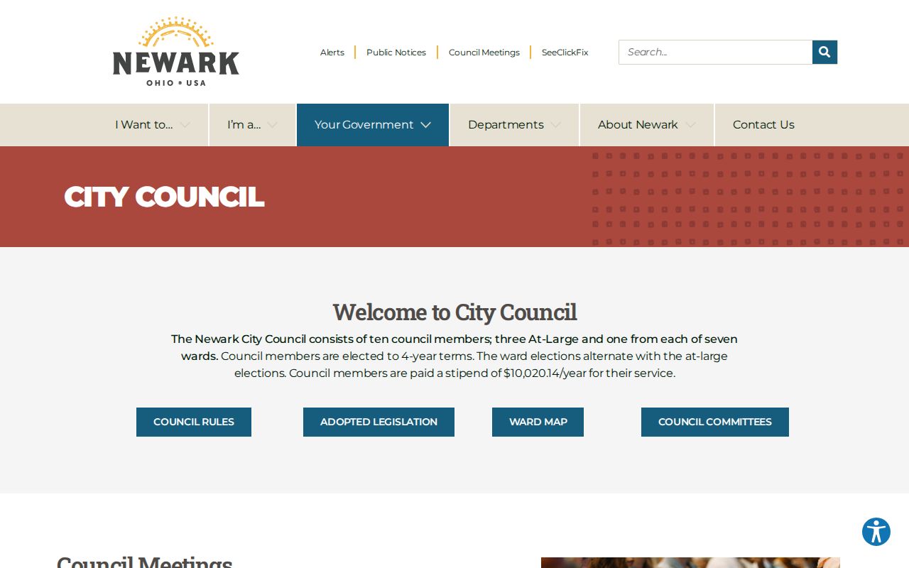
Minutes can identify public meeting and project context. They do not establish that every named person lives on the block discussed.
Newark Neighbors Through Historic Maps
Historic sources help when the goal is to understand how a Newark block looked at a particular time. The library’s Local History material includes an 1817 Newark plat map, a city map around 1910, a 1957 annexation map, a 1952 street map, a Newark and Heath map, a zoning map, and a street index. City directories and telephone books add dated published listings, while Sanborn maps add building and block configuration. They are historical snapshots, not evidence of a current household.
- Property Survey
- The Viewer’s selected set of affected parcels, used after a Buffer search and subject to the visible limit.
- Official Record
- The instrument reference tied to a parcel. It is a starting point for reading the Recorder document.
- Situs address
- The property’s physical site field. It must remain separate from an owner mailing field when both appear.
Licking County Library’s GPS-guided tours help orient the courthouse, downtown, rail, industrial, and commercial layers that shape a historical Newark block.
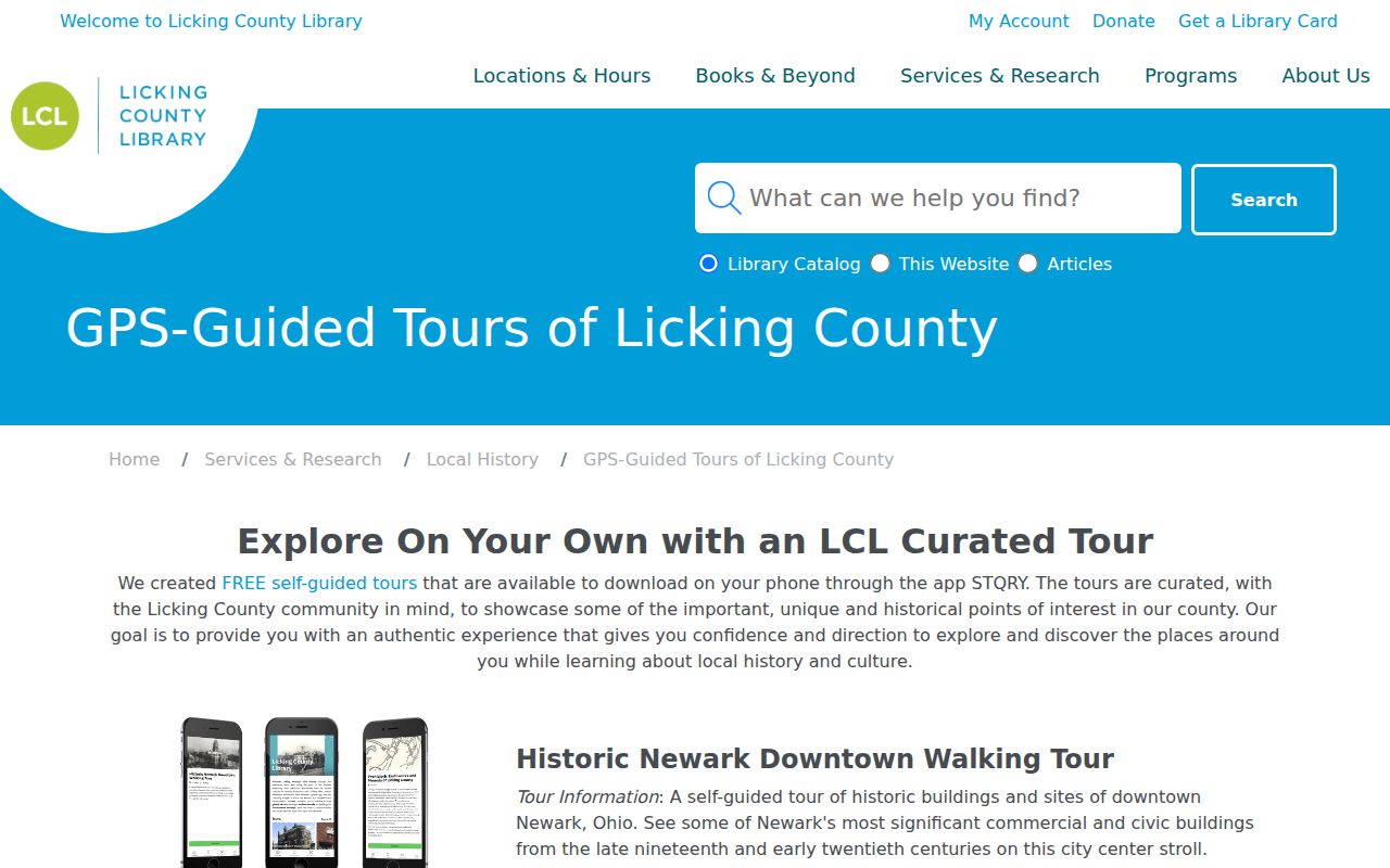
The tours add place context. Confirm a historical address or family claim with the relevant dated directory, map, parcel, or recorded document.
A map’s date controls the question. Compare the street form, annexation or ward context, and directory year before treating two entries as the same location. A later subdivision name or changed block pattern can explain why a historical address needs parcel identifiers before a person’s name is compared.
Newark Voter Records Are Not Block Lists
Ohio’s My Voter Information is a named-person and county lookup. It requires first name, last name, and county, with Licking County selected for a Newark search. It is designed for registration, precinct, and polling-place information, not for browsing everyone along a street or around a parcel buffer. A no-result does not establish that a person is absent from the block.
Ohio’s election records have protected fields, and Safe at Home confidential voter records do not appear in the public lookup or public voter-list versions. A carefully scoped public-records request or a dated state file may have a different access route, but neither is permission to identify protected people or turn voter information into a neighborhood census.
Note: Treat participation history as participation context only, never as a record of ballot choices.
Newark Neighbor Tools Compared
Official property records and commercial neighbor-lookup categories answer different questions. A public parcel map identifies the custodian, property field, and record date. A commercial compilation may combine older sources or similar names, so it cannot replace the original document or the boundary limits of the official record.
| Official property and civic records | Commercial neighbor-lookup category |
|---|---|
| Shows a named source, parcel, case, map, or dated civic record with a custodian to contact. | May combine information from different dates and sources without establishing the current status of each item. |
| Supports a specific statement about a property boundary, owner record, document, or public meeting context. | Does not replace a Recorder document, parcel field, or protected-record rule. |
| Lets an apparent error be directed to the responsible office. | Requires separate correction or removal steps with the company that publishes it. |
Newark Block Records by Request
When the map or a city page does not hold the needed document, ask the office that keeps the defined record. A request can identify an Auditor PIN, a Recorder instrument, a Council minute date, a specific project address, or an Archives collection. The Clerk of Council is the documented route for archived Newark minutes. The Recorder, court, or Records & Archives is the better route when the question concerns its own property or historical records.
Under the Ohio Public Records Act, R.C. 149.43, qualifying existing records may be inspected promptly and copied within a reasonable period, subject to exemptions and actual copy costs. The law does not require an office to create a new block list or perform an open-ended name search. A narrow record request respects both the custodian’s system and the privacy limits around Newark neighbors.
Newark Neighbors Privacy Limits
Several categories remain outside a parcel-buffer method: renters, household members, utility customers, motor-vehicle information, protected voters, and restricted records. Ohio’s public-record rules disclose qualifying records, not every field in a government system. If a public record displays sensitive personal information online, the custodian’s redaction process is the appropriate route. Do not use maps, old listings, or civic records to work around confidentiality protections.
Ohio R.C. 149.45 addresses online protection of records containing Social Security numbers and provides a redaction-request route for certain publicly available online records.
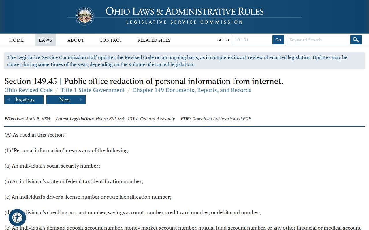
The redaction rule concerns online display and does not authorize a person to reconstruct protected information from other sources.
Lawful use. Use Newark block records for personal, lawful questions such as understanding a property boundary, a local history question, or a public civic record. Do not use them to monitor, stalk, harass, intimidate, or harm anyone.